Before you develop a site, you need to know what types of geological hazards may be lurking underneath the ground. Even years after you build on a property, subsurface hazards can develop and eventually come to the surface. GeoModel, Inc.’s professional geologists specialize in conducting geological surveys and geophysical surveys to map out the geology of a site, including depth to bedrock, and delineate any subsurface hazards.
Our firm was founded in 1991 and has always provided expert professional services in geologic consulting, geological surveying, geophysical surveying, and environmental consulting. The company principals have over 50 years of combined experience as geological consultants and have conducted numerous geological survey and geophysical surveying projects worldwide. All geologic consultants at GeoModel, Inc. are registered or certified professional geologists.
GeoModel, Inc. can provide you with:
- Geologic mapping of rock units and soil layers
- Top of bedrock profiling and bedrock mapping and contouring
- Location of buried stream channels
- Geomorphology (study of landform and landscape origin, development, and dynamics)
- Flood plain analysis
- Investigation of poor drainage, flooded ground, waterlogged soil, water seepage, wet spots, and standing water
- Delineate areas of high groundwater table, soggy areas
- Fracture trace and lineament analysis
- Location of caves, karst, sinkholes, natural springs
- Geologic fault studies
- Geological surveys
- Geologic hazards analysis
- Geophysical surveys
- Geological consultants with Professional Geologist (PG) certifications
Methods for Geologic Investigation
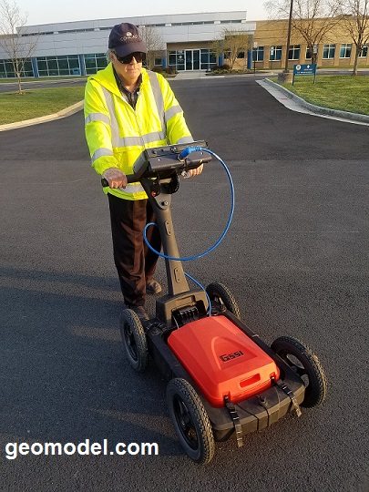
GeoModel, Inc. uses various methods to investigate the geologic and geomorphic conditions in an area. Visual observation, bedrock analysis, professional knowledge, and aerial photograph (air photo) analysis are some of these methods. GeoModel, Inc. also uses various geophysical survey methods and advanced technology to assist in the investigation of geologic conditions at a site or property, including ground penetrating radar (GPR), electromagnetic conductivity (EM), and surface resistivity.
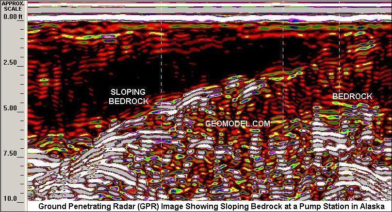
Below is an example of a GPR survey to investigate a low area in on a property that had standing water after heavy rainstorms.


Email: geomodel@geomodel.com